


Trenton Voting District, Edgefield County, South Carolina
About
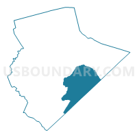
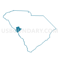
Outline

Summary
| Unique Area Identifier | 665668 |
| Name | Trenton Voting District |
| County | Edgefield County |
| State | South Carolina |
| Area (square miles) | 56.30 |
| Land Area (square miles) | 55.52 |
| Water Area (square miles) | 0.78 |
| % of Land Area | 98.61 |
| % of Water Area | 1.39 |
| Latitude of the Internal Point | 33.69731030 |
| Longtitude of the Internal Point | -81.86903610 |
Maps

Graphs
Select a template below for downloading or customizing gragh for Trenton Voting District, Edgefield County, South Carolina


Neighbors
Neighoring Voting District (by Name) Neighboring Voting District on the Map
- Breezy Hill Voting District, Aiken County, SC
- Edgefield No. 1 Voting District, Edgefield County, SC
- Edgefield No. 2 Voting District, Edgefield County, SC
- Eureka Voting District, Aiken County, SC
- Harmony Voting District, Edgefield County, SC
- Kendall Voting District, Edgefield County, SC
- Merriweather No. 2 Voting District, Edgefield County, SC
- Misty Lakes Voting District, Aiken County, SC
- Vaucluse Voting District, Aiken County, SC
Top 10 Neighboring County Subdivision (by Population) Neighboring County Subdivision on the Map
- Aiken CCD, Aiken County, SC (58,691)
- North Augusta CCD, Aiken County, SC (54,044)
- Southeast Edgefield CCD, Edgefield County, SC (9,276)
- Edgefield CCD, Edgefield County, SC (8,529)
- Aiken Northeast CCD, Aiken County, SC (5,817)
- Johnston CCD, Edgefield County, SC (4,660)
- Trenton CCD, Edgefield County, SC (3,648)
Top 10 Neighboring Place (by Population) Neighboring Place on the Map
Top 10 Neighboring Unified School District (by Population) Neighboring Unified School District on the Map
Top 10 Neighboring State Legislative District Lower Chamber (by Population) Neighboring State Legislative District Lower Chamber on the Map
- State House District 86, SC (39,715)
- State House District 84, SC (36,703)
- State House District 83, SC (36,663)
- State House District 82, SC (34,746)
Top 10 Neighboring State Legislative District Upper Chamber (by Population) Neighboring State Legislative District Upper Chamber on the Map
Top 10 Neighboring 111th Congressional District (by Population) Neighboring 111th Congressional District on the Map
Top 10 Neighboring Census Tract (by Population) Neighboring Census Tract on the Map
- Census Tract 9702.02, Edgefield County, SC (7,439)
- Census Tract 205, Aiken County, SC (7,150)
- Census Tract 202, Aiken County, SC (5,817)
- Census Tract 9703, Edgefield County, SC (4,660)
- Census Tract 9705.01, Edgefield County, SC (4,218)
- Census Tract 9704, Edgefield County, SC (3,648)
- Census Tract 203.01, Aiken County, SC (2,407)